
Surfers Paradise history beyond the skyline
Surfers Paradise history is easier to understand when you look towards the river as well as the beach. The colonial town developed through farming, a ferry connection across the Nerang River and later subdivision. Bridges and the growing visitor economy form another part of that story. These changes took place on Yugambeh Country, where cultural connections continue today. Starting with that context avoids treating the history of a modern town name as the beginning of the place itself.
On a visit, use the beach, Cavill Avenue and the river as different reference points. The coastal frontage helps you understand the appeal of the seaside setting; the Nerang River gives the earlier crossing story a geographical anchor. The sights guide provides a present-day overview, while this page follows the historical sequence without turning it into a scheduled heritage walk.
Our picks: history
Our take: A guided visit with commentary offers a way to see the area.
Hand-picked tours, booked through Viator. Prices are indicative starting prices in Australian dollars (as of October 2026). Tap a tour for live availability and the current price in your currency.
See the town from land and water
A general amphibious sightseeing outing with a professional guide and live commentary, starting on Elkhorn Avenue in Surfers Paradise.
Yugambeh Country is a living context
The State Library of Queensland identifies the Gold Coast as Yugambeh Country in its historical account published on 30 January 2020. The Yugambeh Museum describes the Yugambeh language groups as Traditional Custodians across an area including the Gold Coast, Logan, Scenic Rim and Tweed, extending through southeast Queensland and northeast New South Wales. That wider cultural context belongs alongside the town's colonial timeline, rather than being confined to a closed chapter before development.
The museum in Beenleigh also describes language workshops requiring booking. It offers a cultural reference beyond the beachfront, and any visit should be planned around its own programme. Keep that separate from a general sightseeing outing in Surfers Paradise. When choosing what to do, distinguish an activity concerned with the contemporary town and waterways from a programme specifically centred on language and cultural knowledge.
Farming, the ferry and subdivision
The City Libraries account describes agricultural settlement during the colonial period, Meyer's ferry over the Nerang River and subsequent subdivision. Together, these stages give you a useful way to read the town's development: land use, a crossing and the division of land into parcels. They describe changes within colonial settlement, not the discovery of an empty landscape. The river therefore matters to the story even if most of your visit is centred on the ocean frontage.
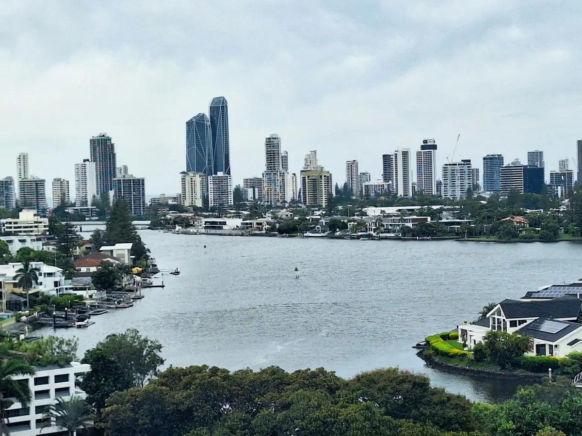
For a practical visit, make time to consider both settings rather than trying to match every historical stage to a surviving structure. A river sightseeing trip can give you a view of the current waterways and skyline. Its route and commentary belong to that particular outing; use it for spatial orientation while keeping the historical dates in their own context.
The bridge in 1925 and the new name in 1933
The municipal historical account dates the opening of Jubilee Bridge, linking Southport and Elston, to 1925. It also dates Jim Cavill's construction of the historic hotel that carried the Surfers Paradise name to 1925. The hotel belongs here as a historical development in the visitor economy. Read the bridge and hotel together as distinct milestones: a connection between places and a venture associated with the coastal name.
The same account records the formal change from Elston to Surfers Paradise in 1933. That is a change in the town's name within its colonial development, rather than a starting date for all human history here. Cavill Avenue is now described as a shopping and dining area, with the Foreshore providing the promenade beside the beach. Looking between these present-day places helps you relate the town centre to its seaside setting.
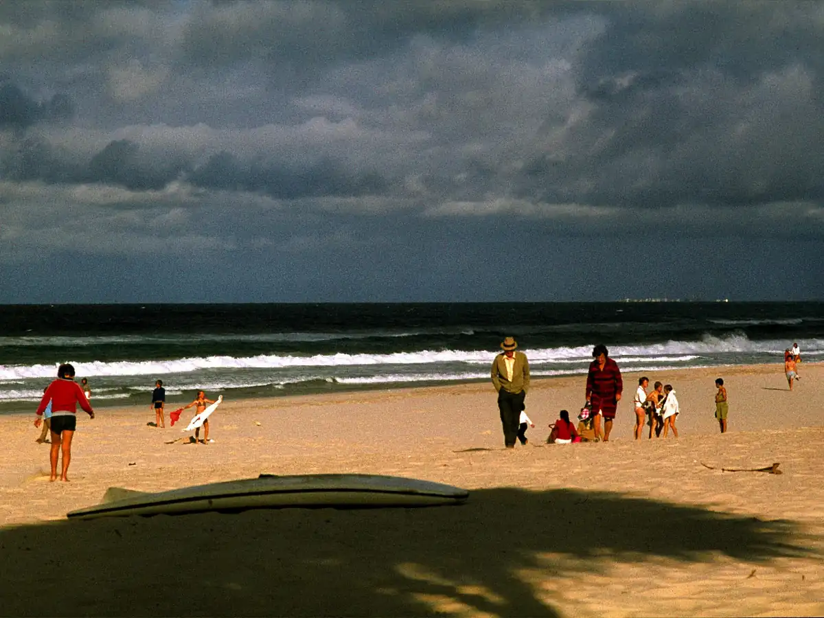
The municipal narrative is an older, undated historical publication. It is useful for this sequence of past events, rather than for current transport instructions or opening times. The beach photograph on this page is likewise explicitly historical: its caption dates the scene of people beneath storm clouds. Its value is the view of a past beach scene, not an indication of conditions during your visit.
A sightseeing option for understanding the setting
The general land-and-water outing featured here departs from the tourist bus stop beside the tour desk at 9 to 11 Elkhorn Avenue. A professional guide and live onboard commentary are included. It is a practical way to see the contemporary setting from different perspectives. For the journey to the centre and onward movement, use the transport guide and plan around the departure point of your chosen activity.
Keep your own historical visit simple: read the short timeline, orient yourself between the centre, beach and river, then choose an outing that suits the view you want. The beach guide covers present-day swimming and patrol information separately. That leaves the historical narrative focused on how the place changed while giving you appropriate practical information for using it today.
History questions
What was Surfers Paradise called before?
The municipal historical account records the formal renaming of Elston as Surfers Paradise in 1933.
Why is the Nerang River part of the history?
The colonial development account includes Meyer's ferry and later subdivision. The river crossing adds an important perspective beyond the beach.
Is the featured outing a cultural history tour?
It is a general land-and-water sightseeing option with a professional guide and live commentary. For language-focused activities, the Yugambeh Museum in Beenleigh has its own booked workshop programme.